Complete Course On ArcGIS – Interactive Cares

Select Your Favourite
Category And Start Learning.

Complete Course On ArcGIS

by Sabrina Rashid Sheonty

Share on facebook
Share on twitter
Share on linkedin
Share on tumblr
685
Beginner
6h

Start this course to guarantee your place

Get Certified Now

About This Course

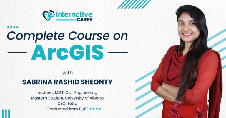
ArcGIS হল অত্যন্ত জনপ্রিয় ও কার্যকরী প্রোগ্রাম যা একজন ভূ-তাত্ত্বিক বিশেষজ্ঞকে ইলেক্ট্রনিক পদ্ধতিতে নিজস্ব ভৌগোলিক ম্যাপ তৈরি, তথ্য সংগ্রহ, সংকলন, ওয়েব অ্যাপ বিল্ডিং, নেভিগেশন এক্সপ্লোর, অবকাঠামো নির্মানের ডিজাইনের ও বিশ্লেষণ করার জন্য ব্যবহৃত হয়। এছাড়াও প্রকৌশল থেকে শুরু করে পরিকল্পনা, ব্যবস্থাপনা, পরিবহন. বীমা, দূরসঞ্চার এবং ব্যবসা বাণিজ্যের বিভিন্ন ক্ষেত্রে ব্যবহৃত হয় ArcGIS আপনি যদি ভূ-তাত্ত্বিক বিশেষজ্ঞ হিসেবে সফল ক্যারিয়ার গড়ে তুলতে চান, তাহলে ArcGIS এ দক্ষতা অর্জনের কোনো বিকল্প নেই। ArcGIS এ যত বেশি দক্ষতা অর্জন করতে পারবেন, তত নিখুঁতভাবে কোনো ভৌগোলিক ম্যাপ তৈরির কাজ করতে পারবেন যা আপনাকে সফলতার শীর্ষে পৌঁছে দিতে সহায়তা করবে। ArcGIS কোর্সের প্রশিক্ষক হিসেবে থাকবেন, সাবরিনা রশিদ সেওঁতি MIST এর একজন লেকচারার। তিনি বুয়েট থেকে ‘Water Resources Engineering’ এর উপর স্নাতক সম্পন্ন করেন। তিনি এখন ইউনিভার্সিটি অব অ্যালবার্টার ‘Civil & Environmental Engineering’ বিভাগে স্নাতকোত্তর পর্যায়ে অধ্যয়নরত। তিনি ‘টেট্রা’ কোম্পানির একজন সিইও। ২০১৮ সালে হাল্ট প্রাইজ ফাউন্ডেশন কর্তৃক রিজিওনাল ফাইনালিস্ট নির্বাচিত হয়েছিলেন। ২০১৭ সালে মাইক্রোসফট এর ব্র‍্যান্ড এম্বাসেডর ছিলেন, একই সাথে তিনি সেখান থেকে ইন্টার্নশিপ সম্পন্ন করেন। মেধাবী এই তরুণী বাংলাদেশ ম্যাথ অলিম্পিয়াডে ৬ বার মেডেল অর্জন করেন। বাংলাদেশ সরকার থেকে ৪ বার শিক্ষাবৃত্তি লাভ করেন এবং BUET থেকে তিনবার Dean’s List এ ও ৪ বার ইউনিভার্সিটি মেরিট লিস্টে তালিকাভুক্ত হয়েছেন।

Topics for this course

39 Lessons6h

Fundamentals to ArcGIS

Projection and GIS dataset

Vector data analysis

Raster data analysis

Map representation

GIS application

Material Includes

  • · Certificate
  • · Pre-recorded sessions
  • · Reading materials
  • · Practice Materials
  • · Quizzes for Self-Assessment
  • · Lifetime access to the sessions
  • . Problem Solving Live Class
৳ 600.00

What Will I Learn?

  • Fundamentals to ArcGIS
  • Projection and GIS Database
  • Vector Data Analysis
  • Raster Data Analysis
  • Raster Calculation
  • Raster Interpolation
  • Map Representation
  • Map Export
  • GIS Application

Target Audience

  • Audiences who come from the background of Civil Engineering, Water Science and Engineering, URP.
  • Audiences who want to make a career in the Geological Sector.
  • Audiences who want to become expert in Geological data analysis
  • Audiences who want to build projects that are related to Geology

4.3

Total 4 Ratings

5
2 ratings
4
1 rating
3
1 rating
2
0 rating
1
0 rating

Very Helpful for the beginners and Instructor was very good but the website has some lackings which can be a problem for the learners

This course is very helpful for beginners. Thank You!

This course is very helpful for beginners. I have enjoyed the course and learned about ArcGIS.

“Materials, as well as the instructors, were excellent. I learned a lot.”Thank You.

Meet
Sabrina Rashid Sheonty

Sabrina Rashid Sheonty is a meritorious individual who is currently pursuing a master’s degree in Civil & Environmental Engineering from the University of Alberta. She is a lecturer at MIST as well as a CEO in Tetra. After graduating in Water Resources Engineering from BUET, she completed an internship & worked as a Brand Ambassador from Microsoft in 2017. She was the regional finalist of the Hult Prize Foundation in 2018. Sheonty was enlisted 3 times in the Dean’s list & 5 times in the University merit list from Bangladesh University of Engineering & Technology.

কোর্স শেষে চাকরীর সুযোগ

#